Unlock Mexico's Geological Secrets with GeoInfoMex!
GeoInfoMex, the premier geological consultation app, invites you on an immersive journey into the heart of Mexico's geological wonders. This powerful tool puts geoscientific knowledge at your fingertips, revealing the hidden treasures beneath the surface.
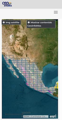
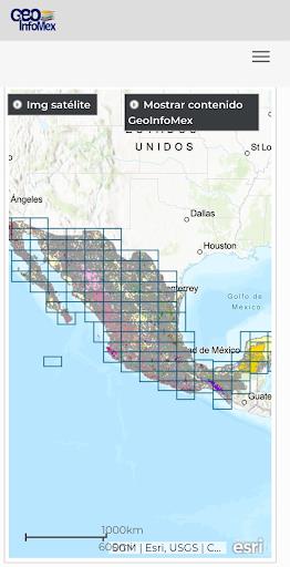
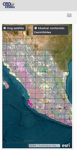
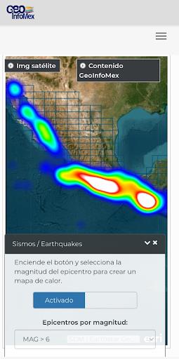
Access a wealth of invaluable resources, including geological, mining, and geophysical data, detailed geochemical maps, and comprehensive information on mines, processing plants, and remarkable rock formations. Explore agrarian land ownership details via the National Agrarian Registry and marvel at the beauty of CONANP-protected natural areas. Stay informed about seismic activity with real-time earthquake updates from SSN and IG-UNAM. Furthermore, delve into hydrological data provided by Cencas, gaining a deeper understanding of Mexico's rich water resources. GeoInfoMex is your key to unlocking the geological mysteries of Mexico.
GeoInfoMex Key Features:
-
Comprehensive Geological Data: Explore a vast array of geoscientific information covering the entire Mexican Republic. Access detailed maps and data on mining activities, geophysical surveys, and geochemical analyses.
-
Mining and Rock Information: Discover detailed information on mines, processing facilities, and significant rock formations across Mexico. Learn about their location, characteristics, and operational details.
-
Land Ownership Insights: Gain access to land ownership data from the National Agrarian Registry, providing valuable information on agrarian nuclei (ejidos) and land boundaries.
-
Protected Natural Area Details: Explore Mexico's diverse protected natural areas managed by CONANP. This feature is invaluable for eco-tourism and conservation efforts.
-
Real-time Earthquake Monitoring: Stay informed about seismic activity through real-time earthquake data from trusted sources like SSN and IG-UNAM.
-
Hydrological Data Access: Access hydrological data from Cencas, providing insights into water resources, river systems, and water quality.
Discover Mexico's Geological Landscape:
GeoInfoMex is the ultimate resource for geoscientists, researchers, environmentalists, and anyone fascinated by Mexico's geology. Download GeoInfoMex today and embark on an unparalleled geological adventure!